Severe alert day: Evening storm chances; damaging wind, flooding threats
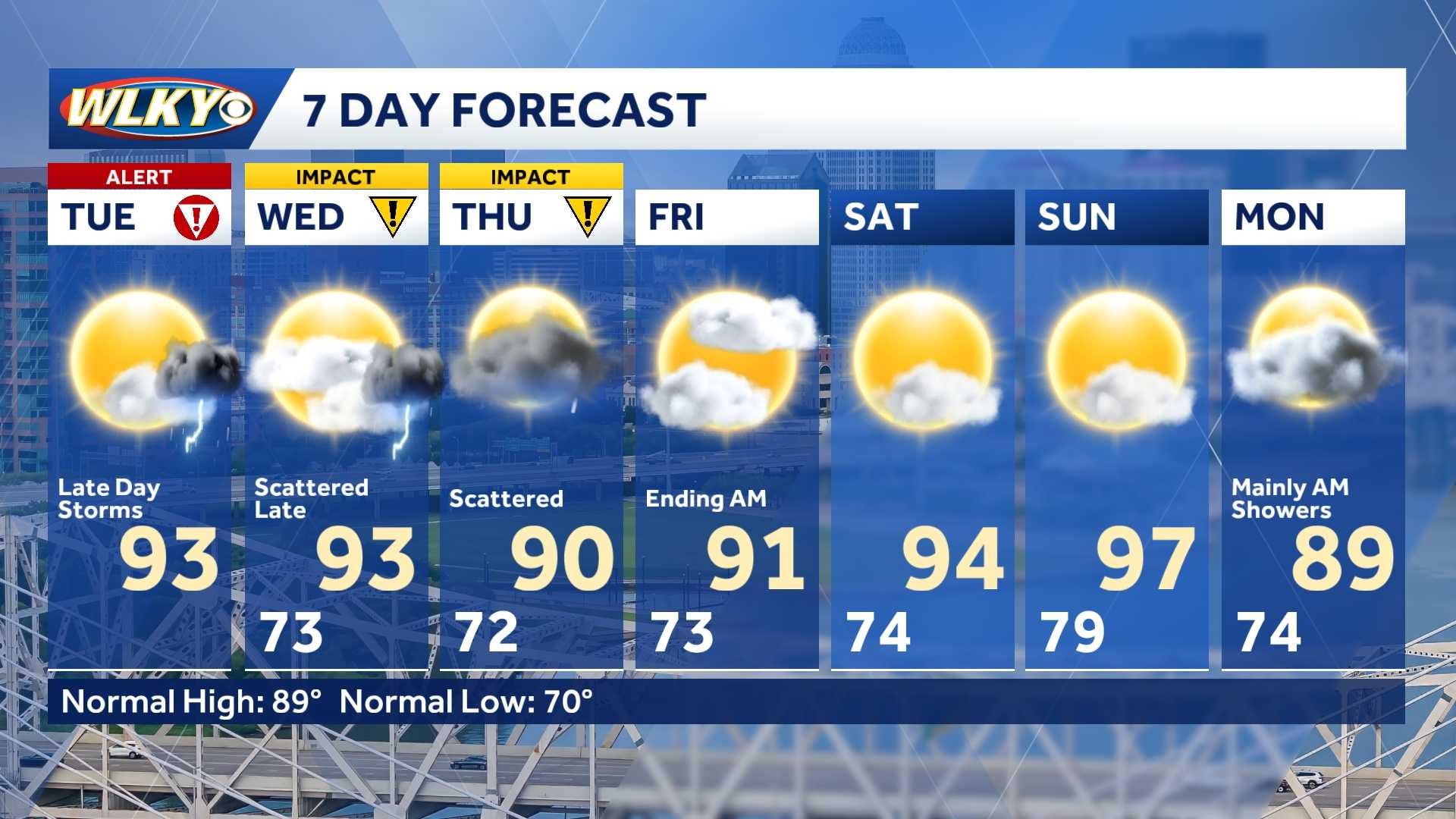
Thunderstorm chances going up the next 2 to 3 days with multiple rounds of storms expected.


LOUISVILLE, Ky. —
Stormy weather unfolded across the WLKY viewing area.
LIVE WEATHER RADAR | WEATHER ALERTS
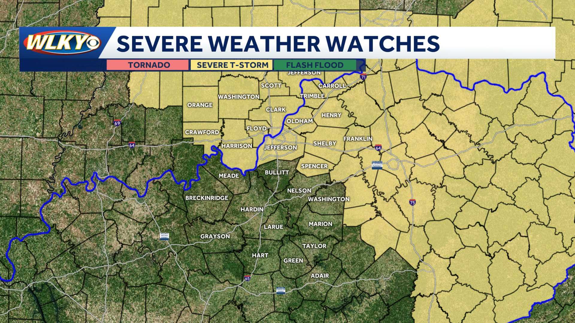
Severe Thunderstorm Watch
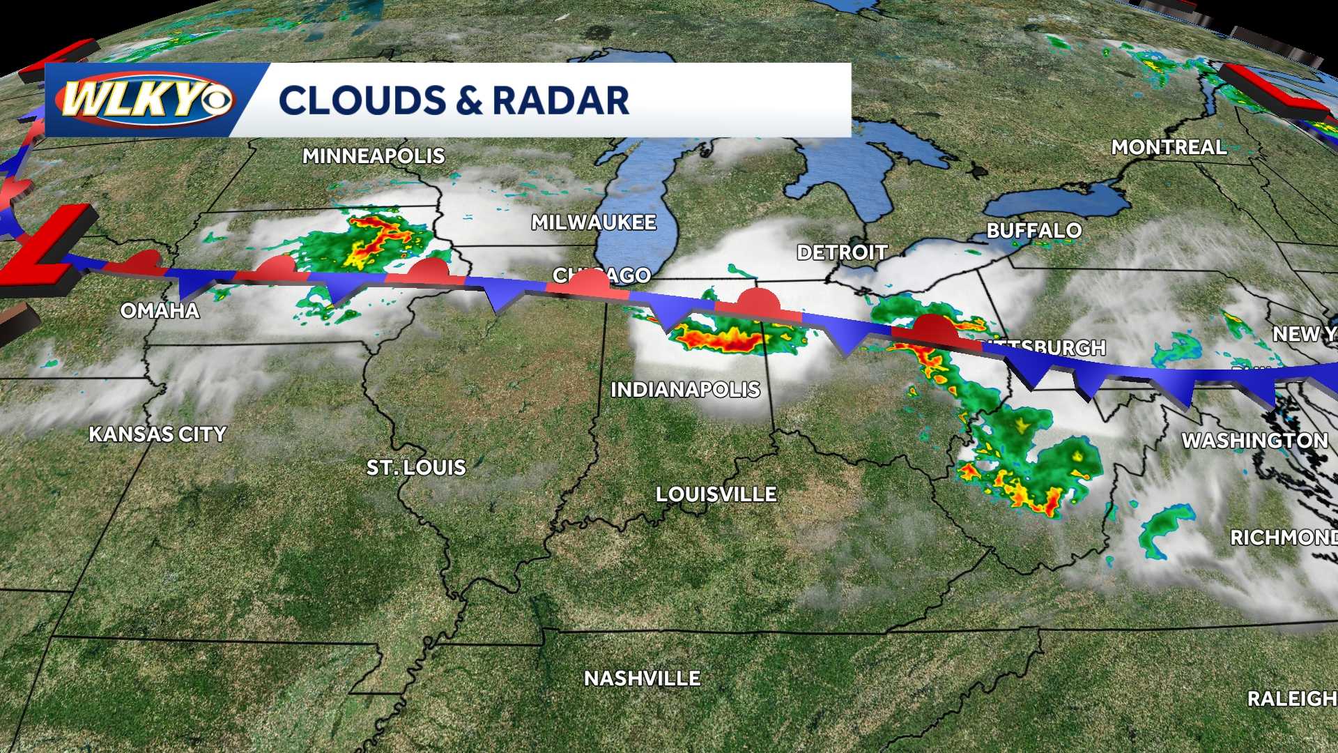
As the front interacts with extreme heat and humidity, which is storm fuel, shower and thunderstorm chances will be increasing across our region.
It appears several rounds of showers and storms could impact our area from late day Tuesday through Thursday.
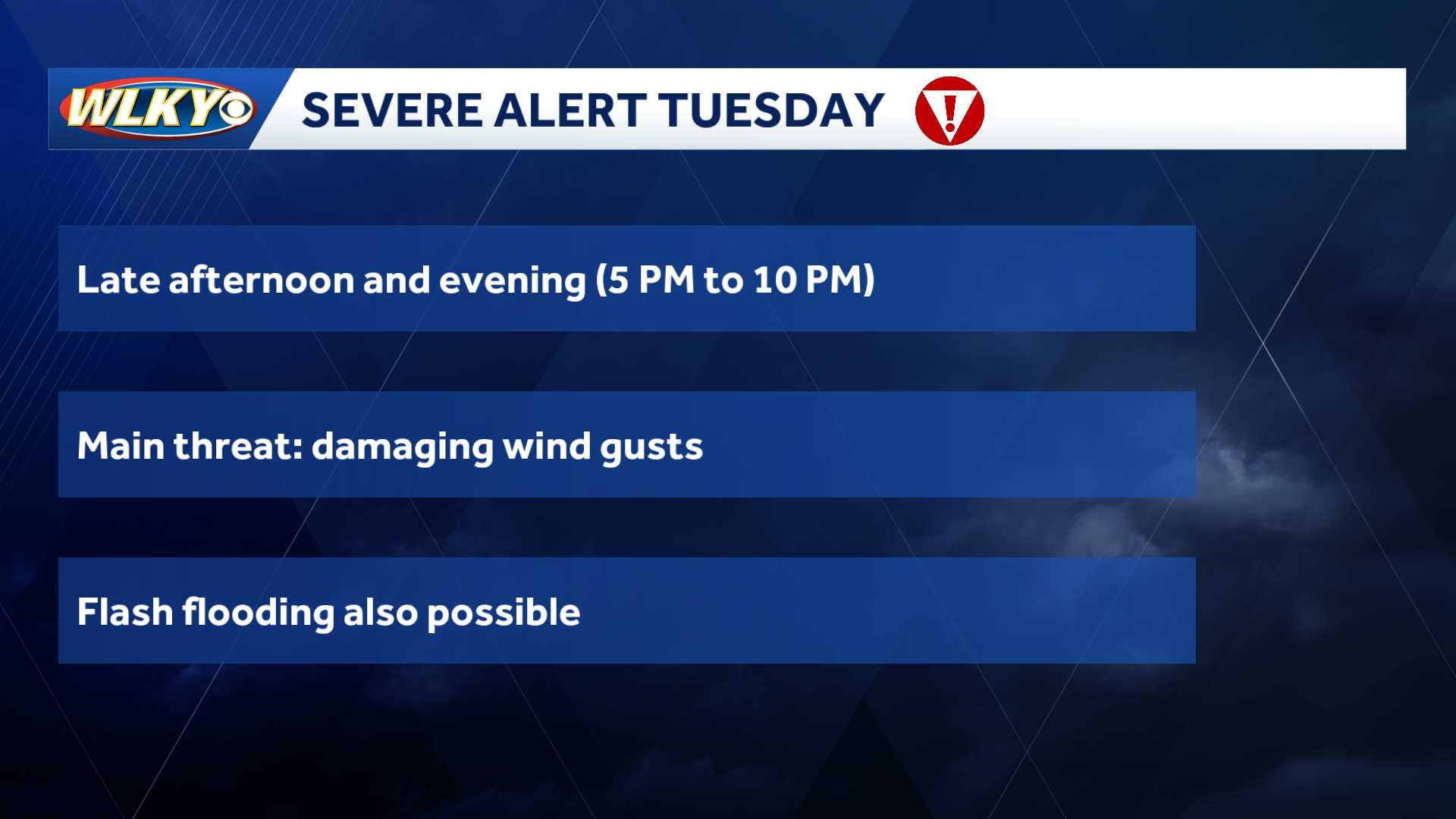
Some of the storms could be strong to severe, especially if they organize into large clusters and move rapidly southeast with the primary threat being damaging winds.
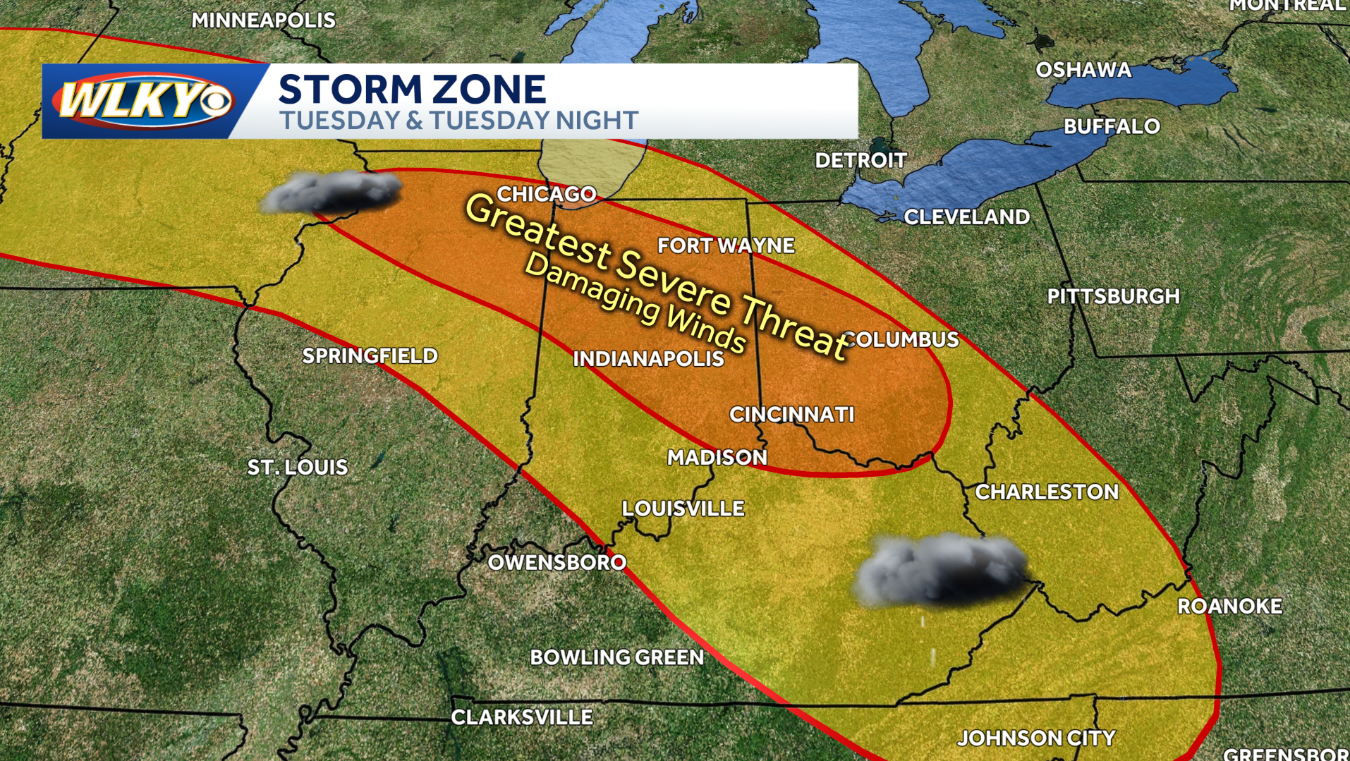
Strong Storm Threat Tuesday & Tuesday Night
Late in the work week, the stormy pattern will shift well north as very hot, humid and mainly dry condition settle back in for the upcoming weekend.