Scattered thunderstorms across Baltimore area Wednesday
Following the storms, the rest of the week looks sunnier and less humid
WELCOME BACK AT 515 ON THIS WEDNESDAY MORNING. NOT NECESSARILY FOGGY, BUT STILL VERY MUGGY OUT THERE AS WE LOOK LIVE FROM DOWNTOWN. YOU CAN SEE THE DOMINO SUGAR SIGN. ANOTHER CLEAR SHOT OF THAT VIEW HERE. WE HAVE IMPACT WEATHER UP FOR LATER ON TODAY. WE’VE GOT SOME SHOWERS OUT THERE NOW THAT ARE PRODUCING SOME HEAVY DOWNPOURS, BUT FOR THE MOST PART, BALTIMORE AND AREAS JUST TO OUR WEST AND EVEN TO OUR EAST, LIKELY GOING TO BE DRY. BUT NORTH AND SOUTH OF HERE A LITTLE DIFFERENT. SO IMPACT WEATHER THROUGH THIS MORNING INTO THE EARLY EVENING HOURS. SO ANY TIME FROM NOW UNTIL THE I WOULD SAY SUNSET, WE’VE GOT A CHANCE OF SHOWERS AND EVEN SOME STORMS OUT THERE. SCATTERED THUNDERSTORMS MORE LIKELY DURING THE AFTERNOON HOURS WITH AN ISOLATED DAMAGING WIND THREAT. SO HERE’S LIKE A TIMELINE. YOU CAN SEE WHERE THE CHANCES FOR RAIN WILL REALLY BE GOING UP. AND IT’S NOT A SIGNIFICANT CHANCE FOR OUR AREA, MEANING THERE WON’T BE WIDESPREAD RAIN EVERYWHERE. MORE SCATTERED THUNDERSTORMS AS WE HEAD THROUGH MID TO LATE MORNING INTO THE EARLY AFTERNOON HOURS. SO IMPACT ICONS UP SHORTLY AFTER ABOUT 8 OR 9 A.M. AND YOU’LL NOTICE HERE ON LIVE RADAR, WE ARE TRACKING SOME RAIN AND IT IS PRODUCING HEAVY SHOWERS. HERE YOU CAN SEE THE LITTLE AREA JUST INTO THE NORTHEAST CORNER OF OUR VIEWING AREA. SO CECIL COUNTY, YOU’RE SEEING SOME OF THIS RAIN AT THIS POINT AS IT TRACKS TO THE NORTH AND EAST PASSES THROUGH FAIR HILL JUST TO YOUR SOUTH. WE’VE GOT A LITTLE BIT OF RAIN, MAYBE EVEN SOME SPRINKLES DOWN TOWARDS PERRYVILLE. BUT AS I SCOOT THIS CAMERA SOUTHWARD, MAYBE SOME LIGHT SHOWERS OUT THERE IN ANNAPOLIS. THOSE WILL QUICKLY WIND DOWN, MAYBE LASTING ONLY ABOUT ANOTHER 30 TO 45 MINUTES OR SO. SO MOST OF THE AREA, THE MAJORITY OF THE BALTIMORE AREA LIKELY GOING TO CONTINUE TO STAY DRY UNTIL MAYBE LATE MORNING. SO HERE WE GO. 10 A.M. THIS IS WHERE WE COULD HAVE SOME THUNDERSTORMS PASS THROUGH AND THEN AN ADDITIONAL ROUND MOVING IN BY THE EARLY AFTERNOON, JUST IN TIME FOR RUSH HOUR. ANY TIME BETWEEN 4 AND 6 P.M., WE COULD HAVE THOSE STRONGER STORMS TO POP UP. NOW, THIS FUTURECAST MODEL DOES KEEP THE HEAVIER CELLS TO OUR SOUTH, BUT THERE IS THE POTENTIAL. WE COULD HAVE THEM POP UP HERE RIGHT NOW OR RIGHT IN OUR VIEWING AREA, WHICH DOES INCLUDE THE BALTIMORE AREA AS WELL. SO THAT’S WHAT WE’RE EXPECTING LATER ON TODAY. I WOULDN’T HOLD THAT TRUE TO WHAT EXACTLY THE RADAR WILL LOOK LIKE, BUT JUST AN IDEA OF THAT. WE COULD HAVE SOME STORMS OUT THERE. SO 11:00 TONIGHT, MOST OF THE ACTIVITY WILL BE WINDING DOWN, MAYBE A FEW LIGHT SHOWERS LINGERING AND THEN CLEARING SKIES AS WE HEAD THROUGH YOUR THURSDAY. SO THURSDAY IS LOOKING MUCH BETTER AS FAR AS THE WEATHER GOES, WITH LOWER HUMIDITY AND OF COURSE, A LOT MORE SUNSHINE. LATEST FROM THE STORM PREDICTION CENTER. IT STILL HAS OUR AREA UNDER THAT MARGINAL RISK, OR AT LEAST IT’S BEEN SHIFTED SINCE THIS TIME YESTERDAY. WE’VE GOT THAT SLIGHT RISK JUST TO OUR SOUTH, WHICH DOES INCLUDE D.C. SO THAT’S WHERE THEY HAVE THE HIGHER POTENTIAL OF SEEING STRONGER STORMS. SO YOUR FORECAST, IF YOU ARE GOING TO BE AT THE O’S GAME TODAY, THERE IS A CHANCE OF AN ISOLATED SHOWER. SO I WOULD JUST KEEP THE PONCHO WITH YOU IF YOU ARE GOING TO GO TO THE GAME. BUT I DON’T EXPECT IT TO BE WIDESPREAD. THERE’S JUST A SLIGHT CHANCE THERE MAY BE A DELAY, ESPECIALLY IF WE CAN GET THAT RAIN TO CLEAR AFTER 6:00. FORECAST. HIGHS TODAY, UPPER 70S, MAYBE EVEN 80 DEGREES. AND THEN OVERNIGHT DROPPING BACK DOWN TO THE 60S. BUT IT’S GOING TO BE MORE COMFORTABLE AS THE DAY GOES ON THROUGH THURSDAY. SO WHILE IT MIGHT STILL BE JUST A TAD BIT STICKY OUT THERE TO BEGIN, THE AIR WILL CONTINUE TO DRY OUT. SO FEELING MORE PLEASANT. THURSDAY AFTERNOON 77 YOUR HIGH ON THURSDAY 76. FRIDAY. BEAUTIFUL WEATHER THIS UPCOMING WEEKEND. SEAN. HIGHS IN THE LOW TO MID 70S. HUMIDITY WON’T BE TOO HIGH EITHER. SO
Scattered thunderstorms across Baltimore area Wednesday
Following the storms, the rest of the week looks sunnier and less humid

We have one more day of unsettled weather in the Baltimore metro, before the rest of the week turns sunnier and drier.Morning showersKeep the umbrella with you. Showers will continue on-and-off through Wednesday morning. It will feel muggy again, with high humidity and afternoon temperatures in the upper 70s. Afternoon StormsYou may have to alter some of your afternoon plans, as showers turn into thunderstorms. The storms won’t last the entire time, but they will be capable of lightning, downpours and isolated severe winds. Maryland’s 7-Day Weather ForecastFollowing the storms on Wednesday, a sunnier and drier weather pattern will take hold for several days. It will feel comfortable for many days, with low humidity and highs in the 70s.Stay InformedDownload the WBAL-TV 11 News app and turn on push alerts to be aware of changing weather and watch WBAL-TV 11 News for updates.Follow the WBAL-TV 11 Weather Team on X: @wbaltv11 | @TTasselWBAL | @AvaWBAL | @TonyPannWBAL | @DalenciaWBAL | @AlenaLeeWX|| Closings/Delays | Weather Advisories | Radar | Forecast | Email Alerts | Send us your pics ||WBAL-TV 11 Maryland Weather RadarApp users tap here for interactive radar.Share Your PhotosShare your weather photos and videos and we may show them on WBAL-TV 11 News or online!DIRECT UPLOAD: Use this form to upload photos and video.EMAIL: Email your photos and video to news@wbaltv.com.
We have one more day of unsettled weather in the Baltimore metro, before the rest of the week turns sunnier and drier.
Morning showers
Keep the umbrella with you. Showers will continue on-and-off through Wednesday morning.
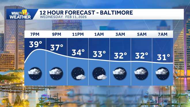
It will feel muggy again, with high humidity and afternoon temperatures in the upper 70s.
Afternoon Storms
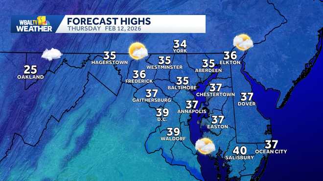
You may have to alter some of your afternoon plans, as showers turn into thunderstorms. The storms won’t last the entire time, but they will be capable of lightning, downpours and isolated severe winds.
This content is imported from Twitter.
You may be able to find the same content in another format, or you may be able to find more information, at their web site.
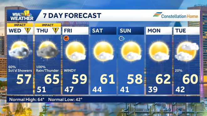
Maryland’s 7-Day Weather Forecast
Following the storms on Wednesday, a sunnier and drier weather pattern will take hold for several days. It will feel comfortable for many days, with low humidity and highs in the 70s.
Stay Informed
Download the WBAL-TV 11 News app and turn on push alerts to be aware of changing weather and watch WBAL-TV 11 News for updates.
Follow the WBAL-TV 11 Weather Team on X: @wbaltv11 | @TTasselWBAL | @AvaWBAL | @TonyPannWBAL | @DalenciaWBAL | @AlenaLeeWX
|| Closings/Delays | Weather Advisories | Radar | Forecast | Email Alerts | Send us your pics ||
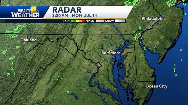
WBAL-TV 11 Maryland Weather Radar
App users tap here for interactive radar.
Share Your Photos
Share your weather photos and videos and we may show them on WBAL-TV 11 News or online!